Click on the storms below to view the following: Satellite Imagery, Forecast Cone, Key Messages, Discussion and Dvorak Estimates. This is currently a test and may not be updated regularly.
SUMMARY OF INFORMATION
-----------------------------------------------
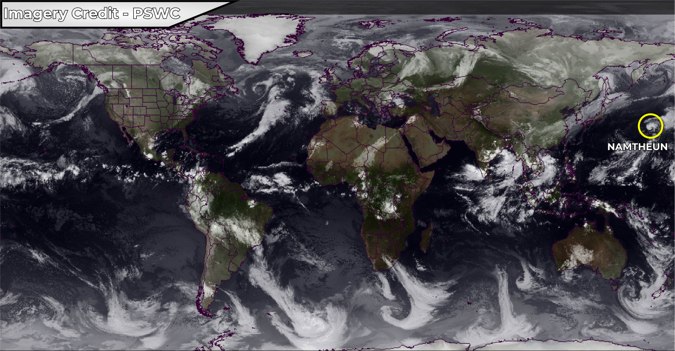
LOCATION...30.8N 165.3E
MAXIMUM SUSTAINED WINDS...75 MPH...120 KM/H
PRESENT MOVEMENT...NNE 19 MPH...30 KM/H
MINIMUM CENTRAL PRESSURE...982 MB
...NAMTHEUN BECOMES A CATEGORY ONE TYPHOON OVER THE OPEN WESTERN PACIFIC...


JOINT TYPHOON WARNING CENTER DISCUSSION
Namtheun is located 1285 km north of Wake Island, and has moved north-northeastward
at 30 km/h (16 knots) over the past 6 hours. Namtheun is expected to accelerate
north-northeastward to northward over the next 36 hours along the western edge of the
subtropical ridge. Significant weakening will occur as sea surface temperatures rapidly
cool from 26°C to 21°C in 36 hours. Additionally, wind shear will increase to moderate
levels as the system begins extra-tropical transition (ETT) and interacts with the
baroclinic zone in around 24 hours. After 36 hours, Namtheun will recurve northeastward
as it rounds the northwest edge of the subtropical ridge. Further weakening will occur
as sea surface temperatures cool further to 16°C, wind shear increases to 55-65 km/h
(30-35 knots) and Ex-Tropical Cyclone Transition completes. Namtheun should gain frontal
characteristics in 2 days as it begins to track near jet-strength upper level winds.
With the exception of AFUM, model guidance is in tight agreement through the forecast
period with a 93 km spread in solutions at 2 days. Intensity guidance is also in good
agreement and supports the steady weakening trend. Therefore, confidence in the
JTWC track and intensity forecast is high.